 geoprintNew
3D-printed maps of any place on Earth
The street you grew up on, a mountain you climbed, the city where you met. Pick an area on the map and geoprint builds the land, the buildings with their roofs, the roads and the rivers as a model you can print at home.
For travellers, architects, hikers and anyone who wants a piece of a place on the shelf.
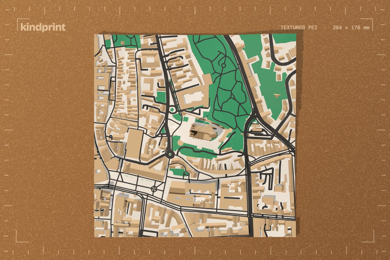
At a glance
- Area
- Square or freeform
- Tiles
- With dowels and labels
- Colours
- One per part
- Files
- STL or 3MF
- Plan
- Included on every plan, the free one too.
What you can make
Any place
Search for it, draw a square or a freeform area, and rotate it to the view you want.
The land, shaped
Set the width, the base, how much the height is exaggerated and how smooth the terrain is.
The city on top
Buildings with their roofs, bridges, roads, raised lawns, sunken streets and deeper rivers.
Colours per part
One colour for each part; parts with the same colour share a filament.
Tiles that fit your bed
Cut a big area into tiles with clearance, dowel holes and a label under each, mirrored so it reads from below.
Built from open data
Open map and elevation data, put together into one printable model.
How it works
Pick the place
Search, then draw the area and rotate it.
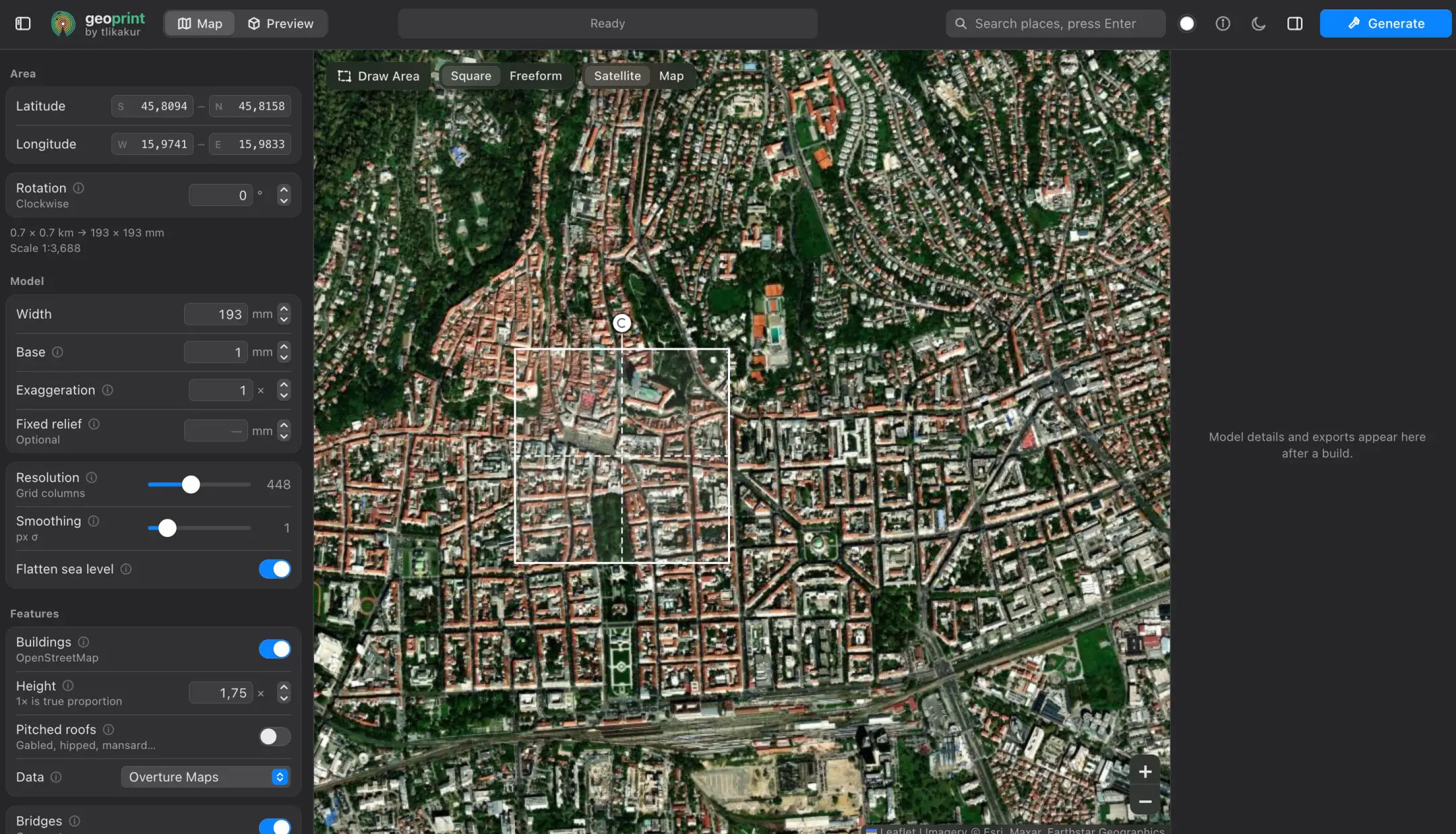
Choosing an area on the satellite map. Shape and colour it
Terrain, buildings, roads and water, each in its own colour, and tiles if it's bigger than your bed.
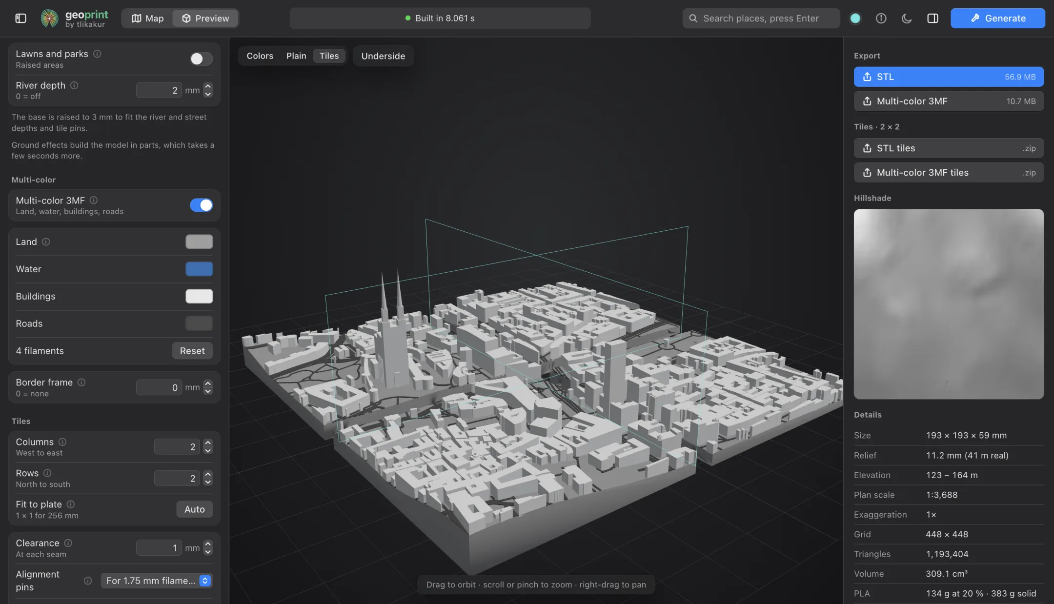
The tiles view: the area cut into four, each in its colours. Export and print
STL or a multi-colour 3MF, as one model or as tiles in a ZIP.
Placeholder: Photo of a printed 3D map, its tiles fitted together, on a desk or a wall.
The printed map, tiles together.
Tiles that line up.
A map bigger than your bed is cut into tiles that fit it. Each tile has a little clearance at its seams, dowel holes to pin it to its neighbours, and its label cut into the bottom, so the pieces go back together in the right order.
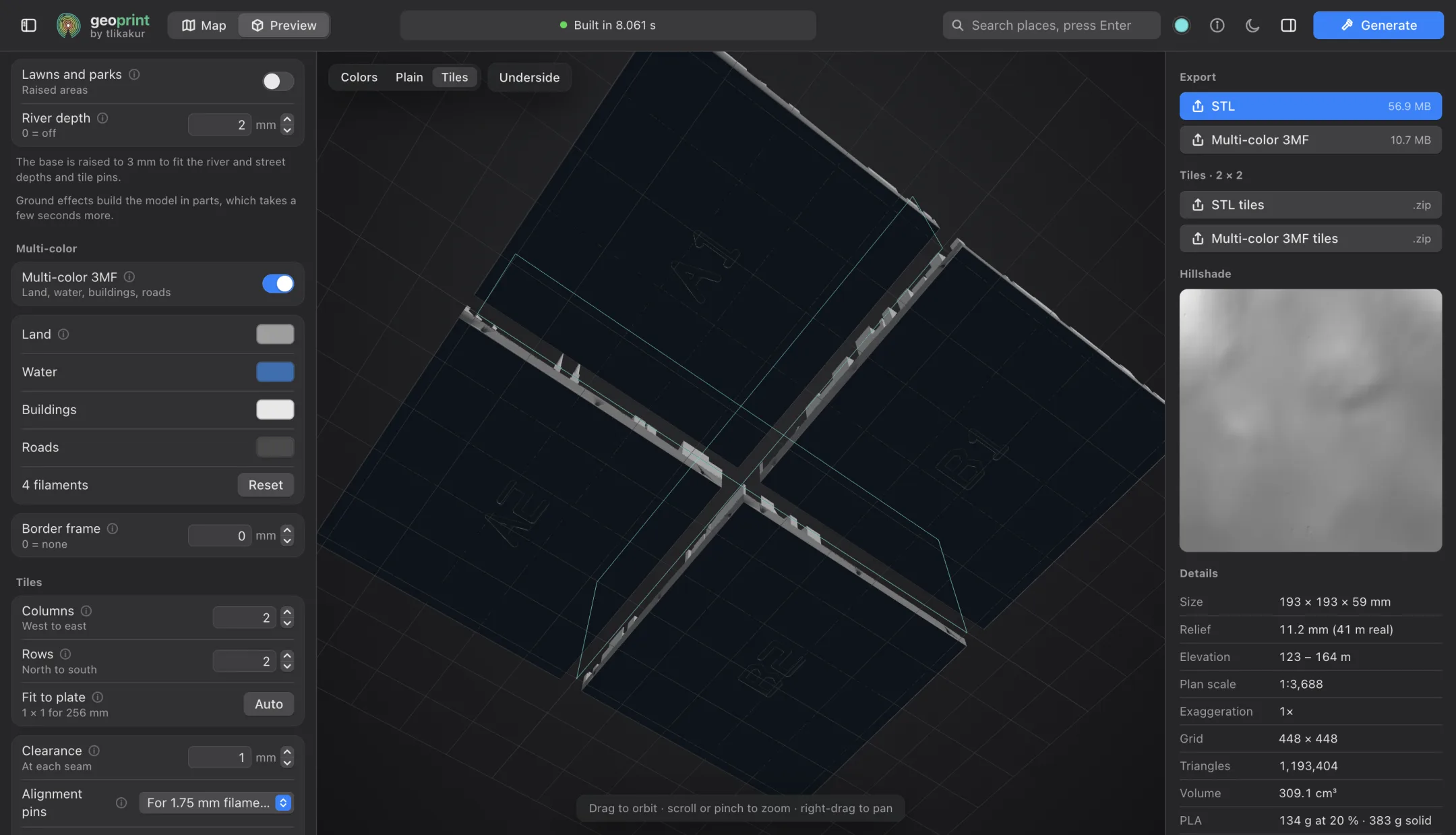
- 0.15 mm
- Clearance at each seam, so neighbouring tiles fit side by side. Change it to suit your printer.
- Dowels
- Holes in the seams for pins that line the tiles up and hold them together.
- A1, B2…
- A label under every tile, so you know where it goes.
Questions
3 layers · 0.20 mmAnywhere with map and elevation data: cities, villages, mountains, coastlines. Cities show the most detail, with buildings and their roofs.
As big as you like: a large area is cut into tiles that each fit your bed, with dowel holes to line them up and a label under each.
No. Export STL and print in one colour, or a multi-colour 3MF with one colour per part if your printer handles it.